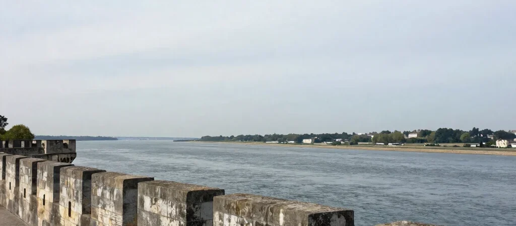
Stand near the Gironde at Blaye and the citadel’s walls seem to belong as much to the river as to the town. That is a useful place to begin: these fortifications were shaped by a landscape where movement, visibility, and control of the water mattered.
A fortress facing two ways
Blaye’s citadel sits above the estuary, with defensive works that address both the river and the approaches from land. Its position is not simply scenic. The height and broad views connect the architecture to the practical question of watching a large waterway.
The fortress is commonly associated with the military engineer Vauban, but the larger story is not contained within one person’s name. Walls, gates, slopes, and sightlines work together, and the shape of the ground is part of that design.
The river completes the plan
Across the water, Fort Médoc and Fort Paté form part of a defensive system linked with Blaye. Seen together, the three positions make the estuary itself legible as a strategic space rather than an empty gap between monuments.
That relationship is easy to miss when each fort is treated as a separate attraction. Look instead at the distance between them, the open channel, and the changing banklines. The water is not background scenery; it is one of the elements the fortifications were built to address.
How to look at the walls
On a visit, pause where the masonry opens a view toward the river, then turn back toward the landward approaches. Compare what each side makes visible and what it keeps out of sight. The shift in viewpoint is a simple way to read the citadel as architecture shaped by its estuary.