
Routes and discoveries
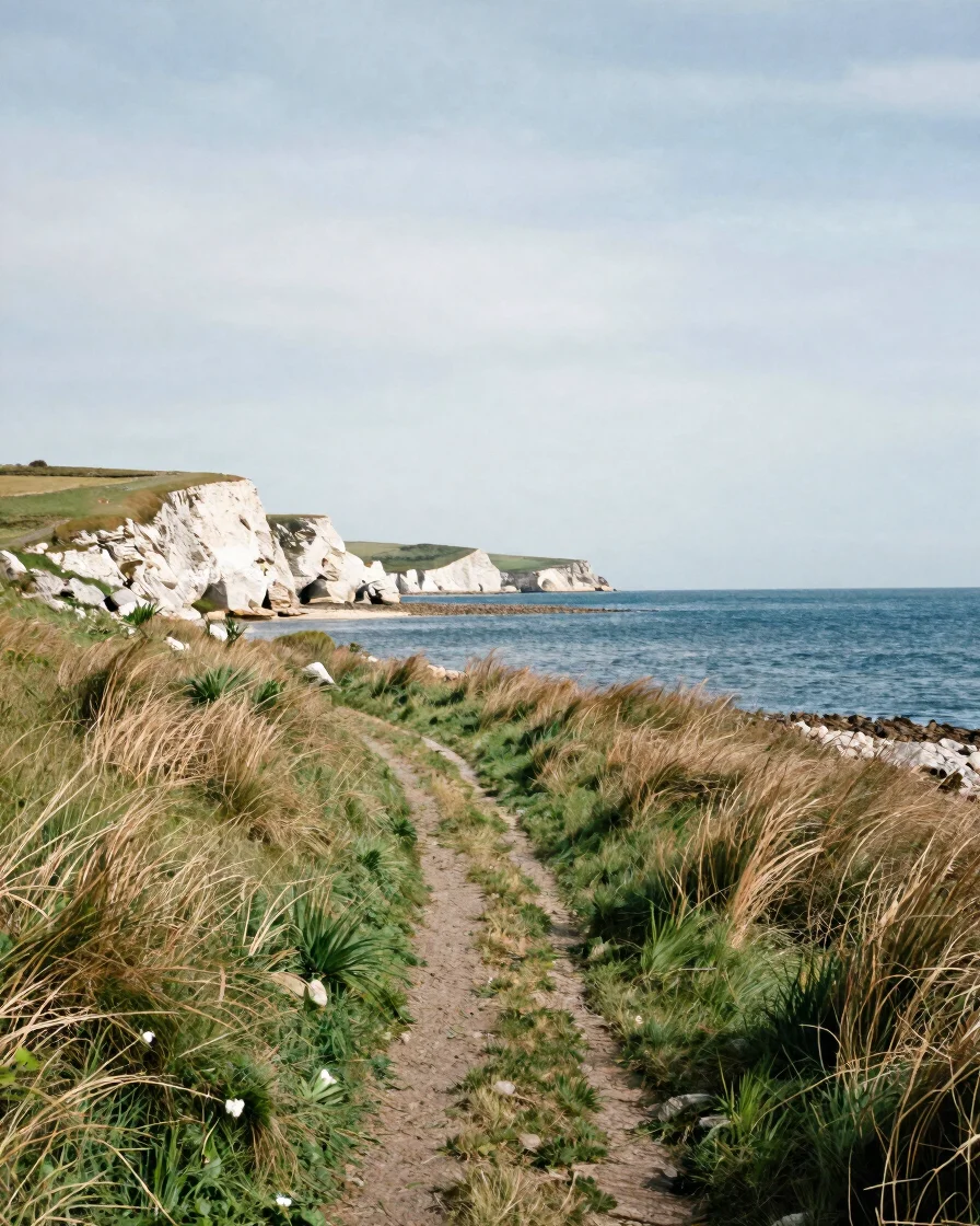
Walks along the estuary banks
These are concept routes for reading the estuary on foot or by bicycle, from limestone cliffs to marsh waterways and fortified hamlets. They are ideas to explore, not verified itineraries, so check paths and access locally before setting out.
Each walk is a way of looking: at the stone of a quarry face, a drainage canal, or a village wall shaped by the tide.
Thematic circuits
Three ways to read the shore
Each circuit groups related sites and landscapes. Confirm access, conditions, and any local rules before you go.
Cliff-top paths
Quarries and river vistas
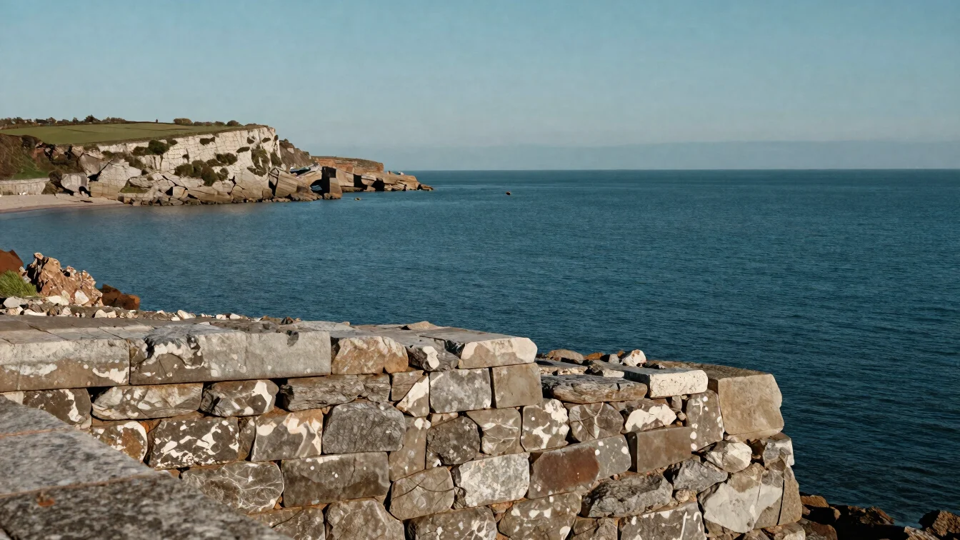
Cliff-top paths pass old stone quarries and shelters cut into the rock, with wide views over the water. Observe how the stone was worked and how the river shapes the edge.
Marsh waterways
Canals and tidal dikes
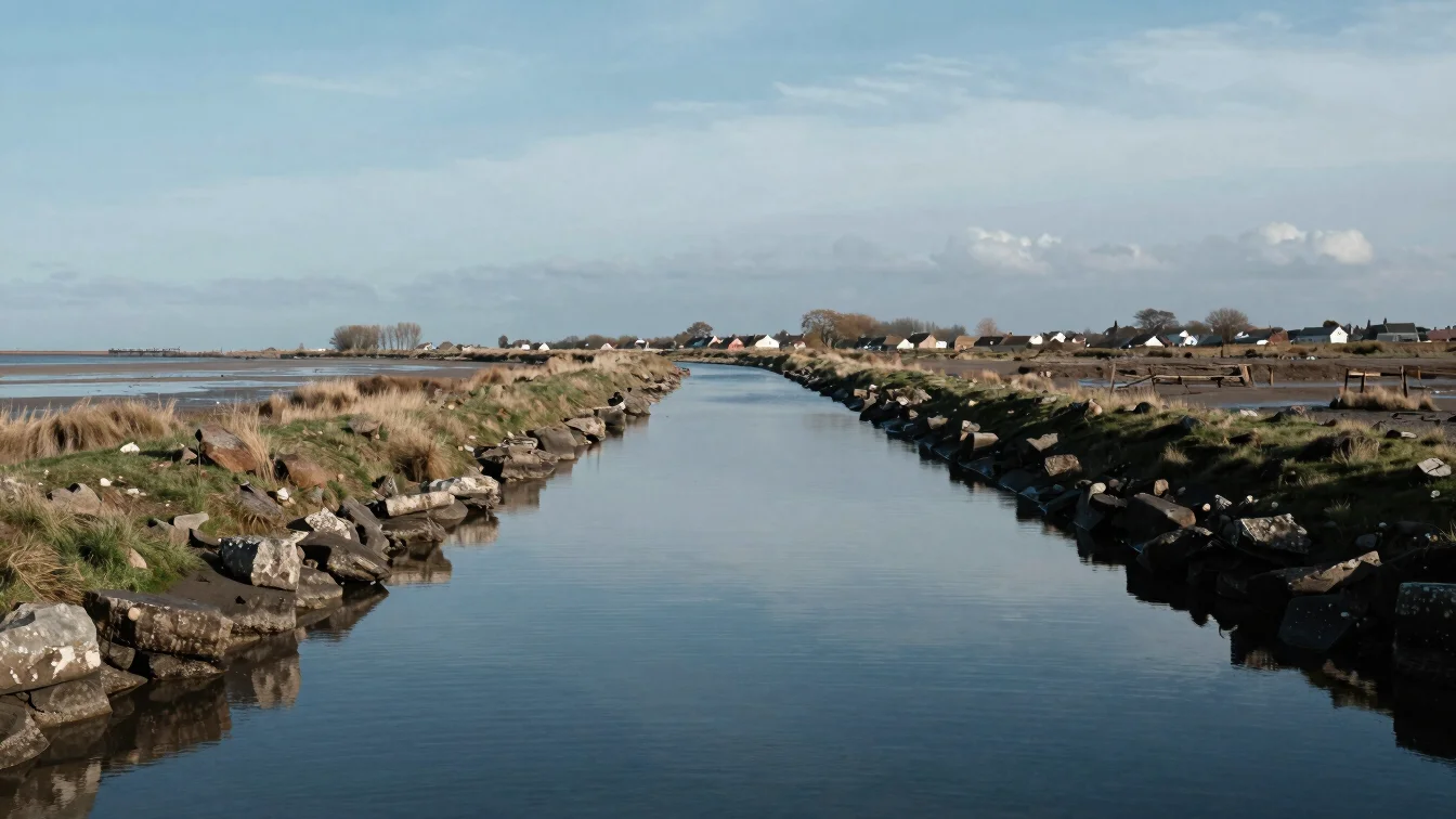
Marshland routes follow drainage canals and tidal dikes between quiet hamlets. Watch how water levels, grasses, and light change with the tides across the day.
Fortified hamlets
Walls and village edges
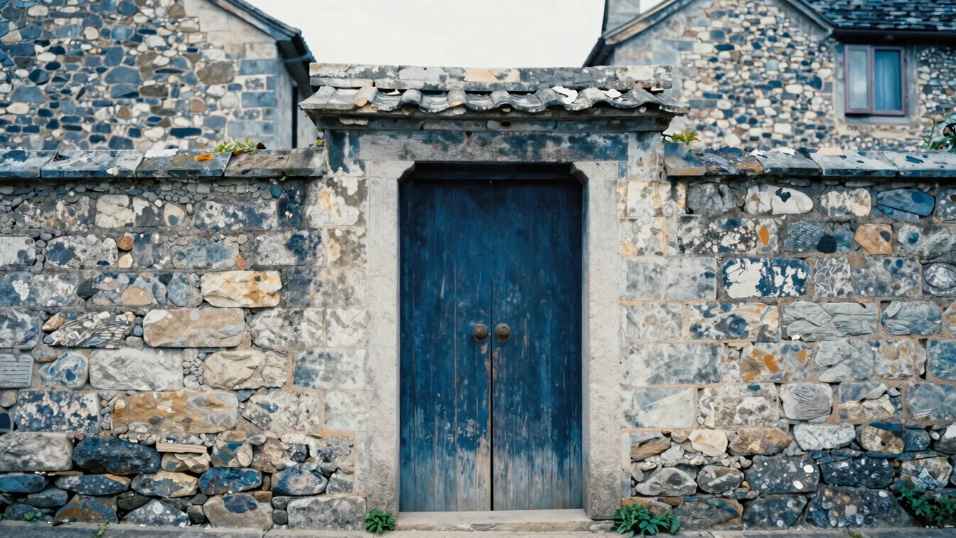
Walks through fortified villages invite careful attention to vernacular buildings, pale stone walls, and the details of gates and roofs. Look closely rather than expecting a set itinerary.
Continue on neighboring shores
Pair a walk with a visit to local craft workshops or community traditions along the neighboring banks.