
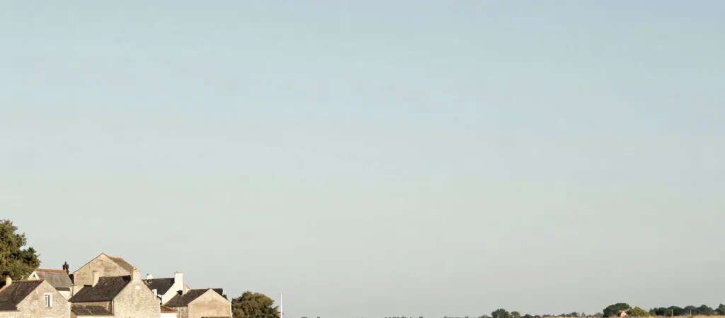
At the edge of the Gironde, the landscape changes with the light, the water, and the exposed bank. It can be tempting to treat the estuary as scenery between one heritage stop and the next. Yet its channels and shores are part of the region’s history, shaping where people settled and how they moved.
A landscape in motion
The Gironde estuary is formed where the Garonne and Dordogne meet, and its scale is apparent from many of its banks. Water, mudflats, and channels make a changing edge rather than a fixed line on a map. That movement is one reason the river belongs in any account of local heritage.
A village facing the water has a different relationship to its surroundings from one set farther inland. Landing places, river views, and the orientation of buildings can suggest how the estuary entered daily life, even when the original use of a feature is not certain.
Read the shore carefully
On a cultural walk, notice the transitions: stone streets giving way to open banks, sheltered edges giving way to broad water, and built landmarks set against low horizons. These contrasts connect architecture to the conditions around it without reducing the landscape to a picturesque frame.
The estuary also asks for patience. Tides and weather alter what is visible, and a shoreline may look different from one visit to another. Rather than treating those changes as an inconvenience, use them as a reminder that this heritage is still part of a working natural system.
Let place guide the story
Choose one village or stretch of bank and follow the connection between its buildings and the water. Look for what faces the river, what turns away, and how paths meet the shore. The result is a more grounded way to discover the Gironde: not a list of separate sights, but a place where landscape and local history continually meet.